
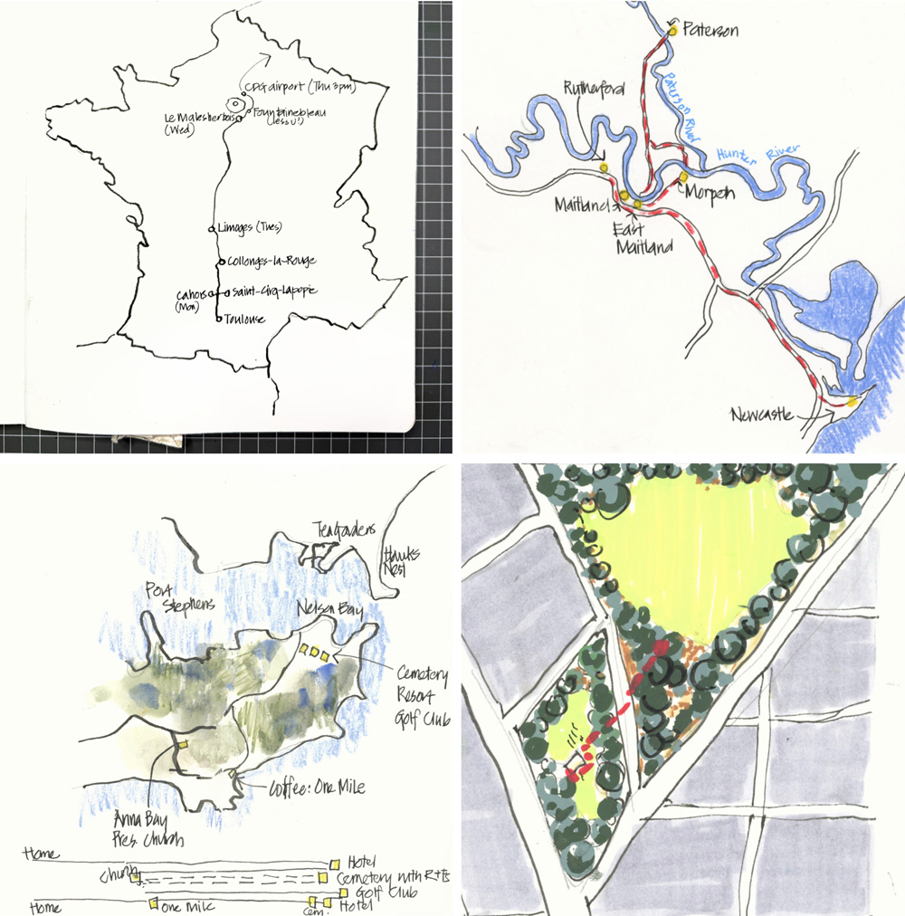
In preparation for last week’s Sketchbook Design livestream, I did a little review of the maps I’ve done recently.
And in the process, I realised that I haven’t been drawing maps much at all!
So here is a few maps that I found…
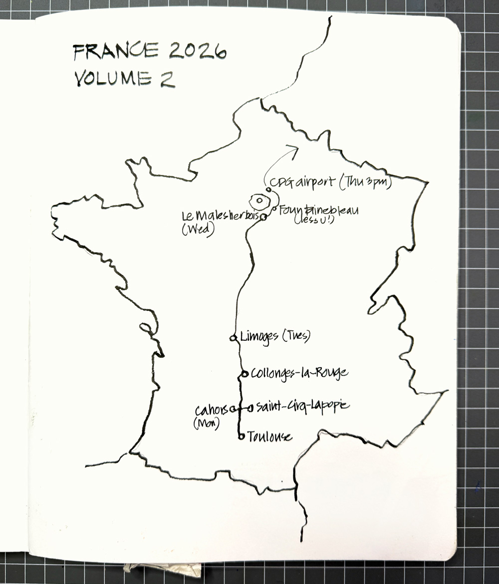
And when I have drawn maps while travelling, I’ve kept them really simple – like this one from my recent trip to France.
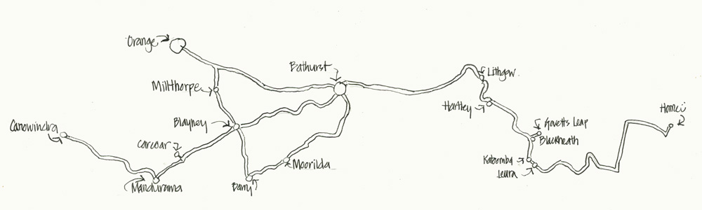
Here’s another B&W map which varies the scale on the right side (from Leura to Home) so that I could fit everything on the page.
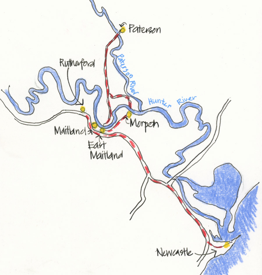
This simple map focused on the rivers and harbour (in blue) and my own journeys in red and yellow.
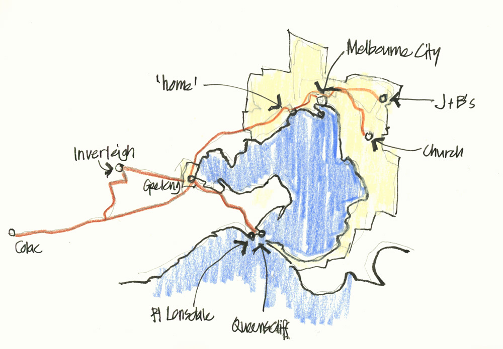
A map summarising several different outings during a trip to Melbourne.
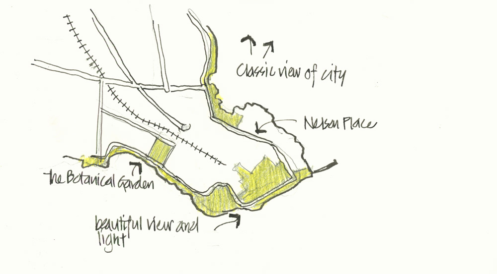
And another map from the same trip where I only coloured the green areas.
Hmm, it seems that lately when I’m travelling I have kept my maps very simple with partial colour (if any at all!)
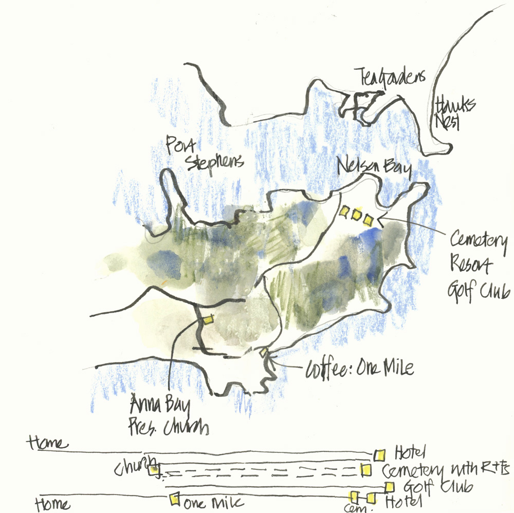
Sometimes a map can’t describe all my movements if there is a lot of back and forth, so on this map I included a diagram of what I did during a 24 hours in Nelson Bay for a funeral.
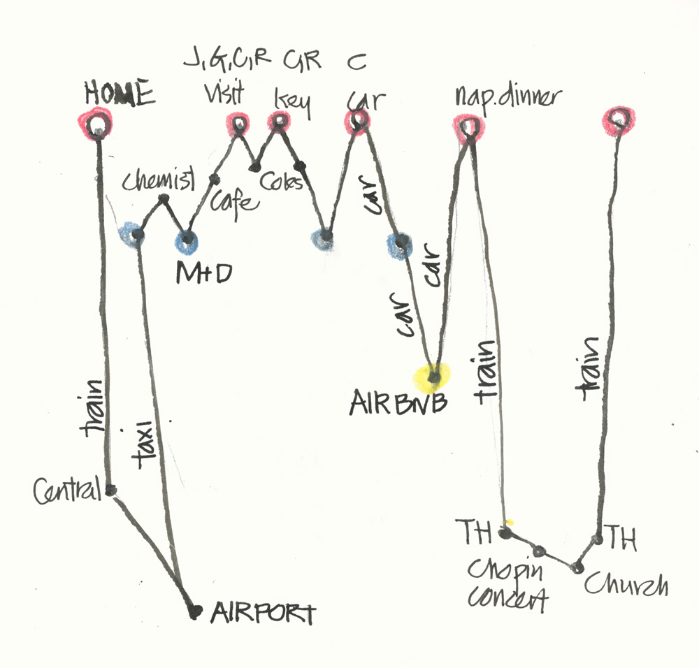
A similar diagram showing lots of movement – this was done in July on the day that my sister and family arrived in Australia. Drawing a map to describe all of this would have been very tricky!
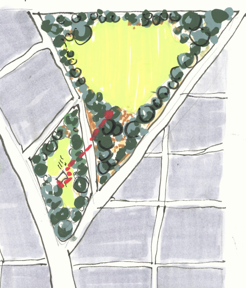
And finally, the most colourful map I’ve done in years – last month, having a little picnic with a friend.
I’m loving going through Sketchbook Design again, and putting this blog article together is a great prompt to draw more maps!
Do you like drawing maps in your sketchbooks?

NEWSLETTER
Subscribe for first notification of workshop + online classes and more.